Michigan bike trip

dac37

New member
Hi looking for some input on a ride to the UP. We will ride the west coast of lower Michigan over the Mackinaw bridge up to Curley Lewis Highway just north of m 28 . My question is from there can you ride the cost line of Lake Superior. Looking at Google maps it looks ok , don't know if any gravel roads . Or is it better to take 123 south west to 407/58 . back north .Basically heading over to COPPER HARBOR . Any input on places to eat, sleep or roads to ride or stay away from would be greatly appreciated .
Thanks
 

Woodtic

Active member
I have a few maps and may be able to give you other info. I live in downtown Plainfield. Pm me your number,we can talk about your trip over barley pops at UP Town.
 

Pizza Man

New member
We make a loop from Munising to Grand Marais on H58, to Paradise on H58, down to Newberry on 123 and back to Munising on 28.
Nice roads but rough road from GM to Paradise last time we did it.
From Munising, we take M 28 to Marquette then 41 to 26 and Copper Harbor.
When you are at the bridge, pick up a UP Travel book. It has every thing you need to know including maps.
 

Bradzoo

Active member
From Deer Park to Grand Marais H58 is gravel, from Paradise take 123 down to 28 in Newberry then 28 to 77, take 77 north to Gran Marais and pick up H58 smooth sailing from there, when are you planning on going this is a great trip in the fall when the trees are changing. Look up www.upcruising.com they have a UP Motorcycle travel guide with all the best roads mapped and its free

Bradzoo
 

dac37

New member
Hi, That's what we ended up doing, great ride 1600 miles and looking to do more ! If my buddy's didn't think it was a sleep in party we would have made it up to Copper Harbor ! Really bummed that we didn't get there.
 
Last edited:

MZEMS2

New member
I use a program called TYRE to plan/route all my rides. Very easy and handy to use. Has a map view as well as satellite so that you can zoom right in and see if a road is gravel or paved. Once you plan your route, you download it to your GPS. Check it out.

http://www.tyretotravel.com/
 

Firecatguy

New member
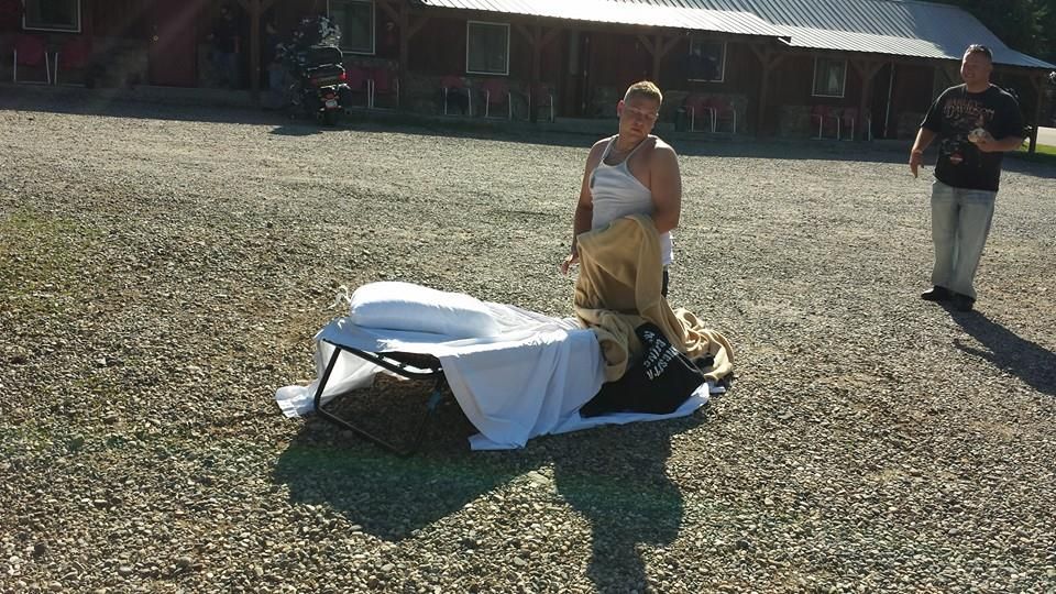
sounds like you had a good time....alot great roads up there....we now leave a map with the days destination on your bike if your not down in pk lot at depart time.......this is something we have delt with as a large group......

this was the last time someone was not ready at 9......

10525881_10204365820934847_6220982189881389281_n_zps3ea8aa91.jpg


Thanks for the heads up on the gps site I have tried many in past and can not get my gps to read the route I set....I will be trying this one soon
 

dac37

New member
Thanks I'll check that site out. Can't really see that on Google maps. I love the idea with the map on the bike ! even funnier picture! lol
 

MZEMS2

New member
Is this site in German ?
Well, I do think it was created in Germany, but I have the English version. I think that's one of the first things you do is pick your language. LOL
Beats the heck outta stopping and looking at maps. The satellite views are nice to plan trips with too, because you can see the terrain and such by toggling between "map" and "satellite" views. The basic version is free (plenty for me) but you can also purchase a pkg. I haven't come up with a good reason to purchase anything yet. The free version works great for what I need
 

dac37

New member
Well, I do think it was created in Germany, but I have the English version. I think that's one of the first things you do is pick your language. LOL
Beats the heck outta stopping and looking at maps. The satellite views are nice to plan trips with too, because you can see the terrain and such by toggling between "map" and "satellite" views. The basic version is free (plenty for me) but you can also purchase a pkg. I haven't come up with a good reason to purchase anything yet. The free version works great for what I need

lol, looking at on phone with no cheaters! getting old!
 
Top