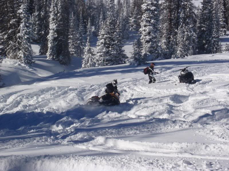
Made a quick run to the Snowies for some early season test-n-tuning. Sorry, no pics. Temps were extream and camera was acting up.
If anyone is thinking of going, the trails are NOT in yet!! If you don't know how to navigate the area, do not go until after Christmas, as that is when I was told they would be put in. Supposedly some of the southern trails have been marked but not many. Nothing up top was marked except the highway 130.
First day went out and over the top on O trail. Not marked but enough had been down it that it was obvious. There was enough cover over the top but very thin. Had to pick our way through the rocks and be very careful! Got to northwest side and found good snow in the meadows and lakes north of N-O trail, again-not marked! I would say on average 4 feet in the trees with some pockets 5-6 feet. Meadows were somewhat wind blown, but probably 12-15" on top of crusty stuff..
Day 2 went over Libby on the Highway and played in the meadows south of the highway and down by seven fools. The highway was compleatly covered except at the very top of Libby Flats were it was blown down to pavement, but there was enough on the side of the road to get through that section. The meadows were less wind blown, but snow was slightly shallower. I would say on average in the 3.5-4 feet. Still have to be carful of land mines, but plenty enough to dip a ski and have some fun. People were climbing the chutes at Lake Marie, but I wouldn't have touched them. Still way to thin in my mind. Also, I set off several mini slab avys about 2" deep,while doing test cuts on southern aspects. I think this layer will be a problem as the snow pack progresses. It was being covered up with fresh the day we left. Overall, I would say it is definitely worth the trip if your itching to get your sea legs back, but be mindful it is still early season with plenty of land mines, and the TRAILS ARE NOT MARKED YET.


