mezz
Well-known member
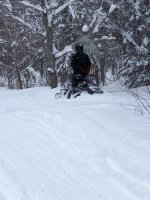
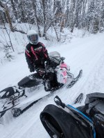
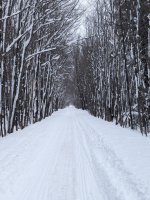
I don't know how much more bizarre this weather can get. 2 days ago, we had 6-8" of wet heavy slop, then it rained. Temps cooled last night into the 20's & had some intermittent LES early this morning. Icy beneath the fresh snow, just about went down taking the garbage out this morning. NWS has us painted for up to 8" in the lower elevations with up to a foot or more in the higher elevations like Calumet & South Range to Twin Lakes. Winds are expected to gust to 35+ mph creating low visibility. The warning begins at 2pm this afternoon through 8am Thursday. Dollars to donuts schools will be cancelled tomorrow. Go figure, I guess this is March signing off as a lion.


